2019
NY5733 : The eastern edge of Langwathby
taken 5 years ago, near to Langwathby, Cumbria, England
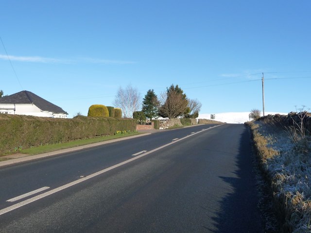
The eastern edge of Langwathby
The last house and the end of the 30mph limit on the A686.
 Map © Crown Copyright")
TIP: Click the map for more Large scale mapping
- Grid Square
- NY5733, 81 images (more nearby 🔍)
- Photographer
- Christine Johnstone (more nearby)
- Date Taken
- Thursday, 31 January, 2019 (more nearby)
- Submitted
- Friday, 1 February, 2019
- Subject Location
-
OSGB36:
 NY 5751 3362 [10m precision]
WGS84: 54:41.7486N 2:39.6456W - Camera Location
-
OSGB36: NY 5745 3358
- View Direction
- East-northeast (about 67 degrees)