2019
SP7815 : The A41, Quarrendon
taken 5 years ago, near to Berryfields, Buckinghamshire, England
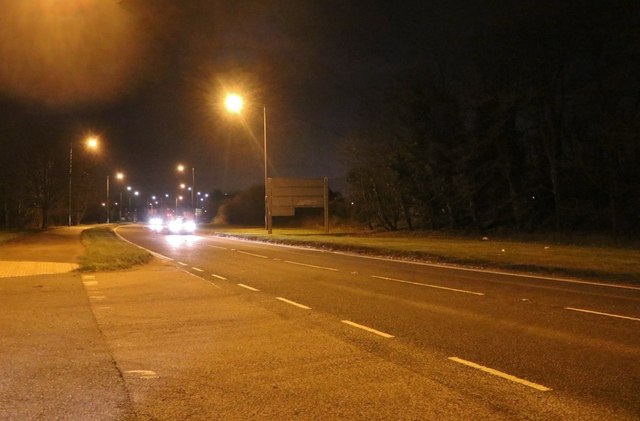
The A41, Quarrendon
 Map © Crown Copyright")
TIP: Click the map for more Large scale mapping
- Grid Square
- SP7815, 25 images (more nearby 🔍)
- Photographer
- David Howard (more nearby)
- Date Taken
- Saturday, 9 February, 2019 (more nearby)
- Submitted
- Thursday, 14 February, 2019
- Subject Location
-
OSGB36:
 SP 7888 1551 [10m precision]
WGS84: 51:49.9586N 0:51.4006W - Camera Location
-
OSGB36: SP 7888 1551
- View Direction
- Southeast (about 135 degrees)