TG2108 : Graves in the Jewish burial ground
taken 5 years ago, near to Earlham, Norfolk, England
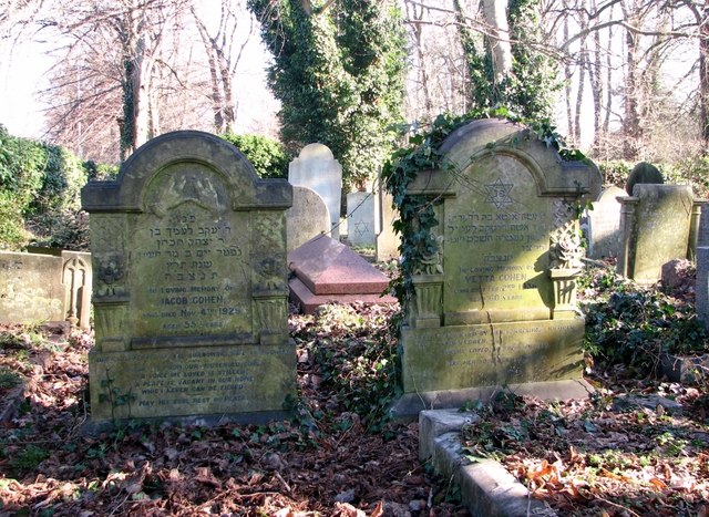
The city has two cemeteries, one on Earlham Road and the other on Rosary Road. (Rosary Road cemetery > Link is the first ever non-denominational cemetery in the UK and was established in 1819 by Thomas Drummond, a nonconformist minister.) Earlham Road cemetery, which was established on agricultural land owned by a farmer named John Cater, is bordered by Earlham Road in the south, by Bowthorpe Road in the north and by Dereham Road in the north-east, and it is divided into two parts by Farrow Road (A140) which traverses it from north to south. Opened in 1856, the year when burials within the city were banned, the cemetery originally covered an area of 34 acres (currently 85 acres), some of which was initially put to agricultural use. At the time the burial ground opened, many families could not afford to buy a headstone for their deceased, and of the 745 burials that took place over the first 10 months only four were marked by gravestones. Although burials had increased to 1640 by the year 1890, there were still only 214 headstones. With mortality rates in the army being considerably higher than those of civilians of similar age back then, many of the dead that lie buried in unmarked graves were soldiers from the Britannia Barracks. In 1875 the Burials Board decided to designate an area expressly for the burial of soldiers. The cemetery has separate areas for different religious beliefs, two funeral chapels and a Jewish mortuary chapel. The larger and older part of the cemetery, situated to the east of Farrow Road, is Grade II listed because of its special historic interest. It has also been designated a County Wildlife Site.
In 1892, a large triangle of land adjacent in the west and comprising 40 acres was purchased from S Gurney Buxton and Edward North Buxton, the trustees of the late John Gurney. This part of the cemetery is situated on the other side of Farrow Road, which was built around 1912 and currently forms its eastern boundary. In the north it is bounded by Bowthorpe Road and Gipsy Lane forms the southern boundary. This area of the cemetery, marked on maps as Earlham Rise, was used for burials from the 1940s onwards. The Baedeker raids memorial can be found here but most of the graves are more recent.
For more information, including a plan, go to: Link
Recommended reading:
Selected Graves from Earlham Cemetery by Françoise Donovan
Elyse Publications (2013), ISBN-13: 978-0992677305
 Map © Crown Copyright")
- Grid Square
- TG2108, 1193 images (more nearby 🔍)
- Photographer
- Evelyn Simak (more nearby)
- Date Taken
- Thursday, 14 February, 2019 (more nearby)
- Submitted
- Thursday, 14 February, 2019
- Subject Location
-
OSGB36:
 TG 2100 0896 [10m precision]
WGS84: 52:38.0019N 1:15.8653E - Camera Location
-
OSGB36: TG 2101 0896
- View Direction
- EAST (about 90 degrees)