2019
NU1636 : Budle Point
taken 5 years ago, near to Budle, Northumberland, England
This is 1 of 4 images, with title Budle Point in this square
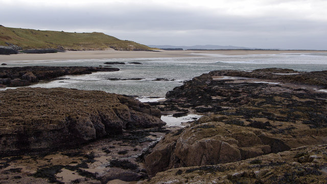
Budle Point
Looking west from Blackrocks Point across Budle Bay to the Ross peninsula.
 Map © Crown Copyright")
TIP: Click the map for more Large scale mapping
- Grid Square
- NU1636, 40 images (more nearby 🔍)
- Photographer
- Ian Taylor (more nearby)
- Date Taken
- Wednesday, 13 February, 2019 (more nearby)
- Submitted
- Sunday, 17 February, 2019
- Subject Location
-
OSGB36:
 NU 1650 3610 [10m precision]
WGS84: 55:37.0928N 1:44.3751W - Camera Location
-
OSGB36: NU 1703 3604
- View Direction
- WEST (about 270 degrees)