2019
SX8684 : Felled area, Gate Park
taken 5 years ago, near to Higher Ashton, Devon, England
This is 1 of 3 images, with title Felled area, Gate Park in this square
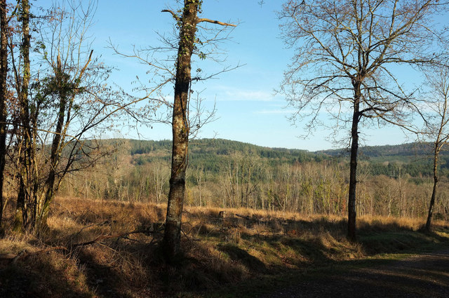
Felled area, Gate Park
From a major track that cuts through Haldon Forest to the Whiteway estate.
 Map © Crown Copyright")
TIP: Click the map for more Large scale mapping
- Grid Square
- SX8684, 47 images (more nearby 🔍)
- Photographer
- Derek Harper (more nearby)
- Date Taken
- Friday, 15 February, 2019 (more nearby)
- Submitted
- Monday, 18 February, 2019
- Subject Location
-
OSGB36:
 SX 8674 8441 [10m precision]
WGS84: 50:38.8999N 3:36.2019W - Camera Location
-
OSGB36: SX 8668 8440
- View Direction
- EAST (about 90 degrees)