2019
SX8684 : Track through felled area near Gate Park
taken 5 years ago, near to Higher Ashton, Devon, England
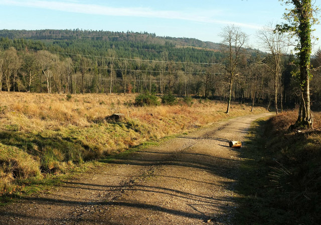
Track through felled area near Gate Park
Further down the track from which SX8684 : Felled area, Gate Park and SX8684 : Gap between the stands, Haldon Forest were taken, heading into the valley of the Bramble Brook.
 Map © Crown Copyright")
TIP: Click the map for more Large scale mapping
- Grid Square
- SX8684, 47 images (more nearby 🔍)
- Photographer
- Derek Harper (more nearby)
- Date Taken
- Friday, 15 February, 2019 (more nearby)
- Submitted
- Monday, 18 February, 2019
- Subject Location
-
OSGB36:
 SX 8682 8429 [10m precision]
WGS84: 50:38.8361N 3:36.1319W - Camera Location
-
OSGB36: SX 8677 8433
- View Direction
- Southeast (about 135 degrees)