2019
NT3160 : Farmland at Carrington
taken 5 years ago, near to Carrington, Midlothian, Scotland
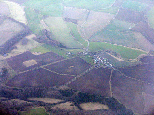
Farmland at Carrington
An aerial view looking west from over North Middleton.
 Map © Crown Copyright")
TIP: Click the map for more Large scale mapping
- Grid Square
- NT3160, 35 images (more nearby 🔍)
- Photographer
- M J Richardson (more nearby)
- Date Taken
- Monday, 4 March, 2019 (more nearby)
- Submitted
- Thursday, 7 March, 2019
- Subject Location
-
OSGB36:
 NT 317 605 [100m precision]
WGS84: 55:49.9726N 3:5.5187W - Camera Location
-
OSGB36: NT 349 595
- View Direction
- West-northwest (about 292 degrees)