2018
S6662 : Northbound M9
taken 6 years ago, 3 km from Paulstown, Co Kilkenny, Ireland
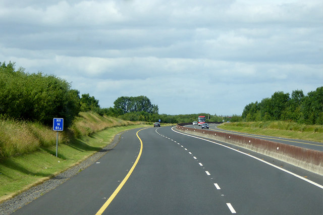
Northbound M9
The M9 motorway runs for 119 km (74 miles) north to south, linking the M7 between Naas and Newbridge near Kilcullen to Waterford. It was opened in sections between 1994 and 2010; the final section opened on 9 September 2010. Prior to July 2008, the majority of the M9 from Junction 2 onwards was to be built as High Quality Dual Carriageway. Due to the passing of a Statutory Instrument in that month, a large section of the route was re-designated to motorway standard. The section included the motorway under construction between Kilcullen and Powerstown and the (then) newly opened Carlow bypass. The remainder of the route has since been redesignated as motorway.
See other images of The M9 Motorway (Ireland)
See other images of The M9 Motorway (Ireland)
Loading map... (JavaScript required)
- Grid Square
- S6662, 4 images (more nearby 🔍)
- Photographer
- David Dixon (more nearby)
- Date Taken
- Wednesday, 20 June, 2018 (more nearby)
- Submitted
- Thursday, 7 March, 2019
- Subject Location
-
Irish:
 S 665 623 [100m precision]
WGS84: 52:42.5296N 7:0.9490W - Camera Location
-
Irish: S 665 622
- View Direction
- NORTH (about 0 degrees)