2019
NS4376 : Lang Craigs Woodland: the high-level path
taken 5 years ago, near to Milton, West Dunbartonshire, Scotland
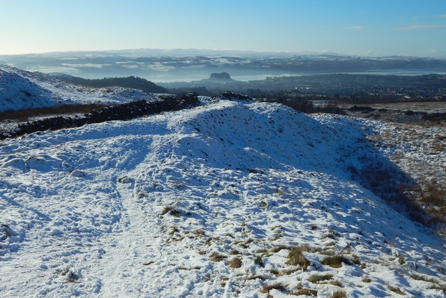
Lang Craigs Woodland: the high-level path
The woodland occupies 240 hectares (590 acres) that were acquired by the Woodland Trust Scotland in 2011. It is named after the Long Crags (or Lang Craigs), a line of cliffs Link making up the facade of the Kilpatrick Hills plateau. Lang Craigs Woodland is one of the 13 Commonwealth Woods, and is an SSSI (Site of Special Scientific Interest). New paths have been laid out (waymarkers were added in May 2015), and about 160 hectares of new native woodland planted.
See other images of Lang Craigs Woodland
See other images of Lang Craigs Woodland
 Map © Crown Copyright")
TIP: Click the map for more Large scale mapping
- Grid Square
- NS4376, 63 images (more nearby 🔍)
- Photographer
- Lairich Rig (more nearby)
- Date Taken
- Friday, 1 February, 2019 (more nearby)
- Submitted
- Thursday, 14 March, 2019
- Subject Location
-
OSGB36:
 NS 4321 7696 [10m precision]
WGS84: 55:57.5991N 4:30.7899W - Camera Location
-
OSGB36: NS 4324 7701
- View Direction
- Southwest (about 225 degrees)