2019
ST2786 : Blue direction and distance signs on a Bassaleg corner
taken 5 years ago, near to Bassaleg, Newport/Casnewydd, Wales
Blue direction and distance signs on a Bassaleg corner
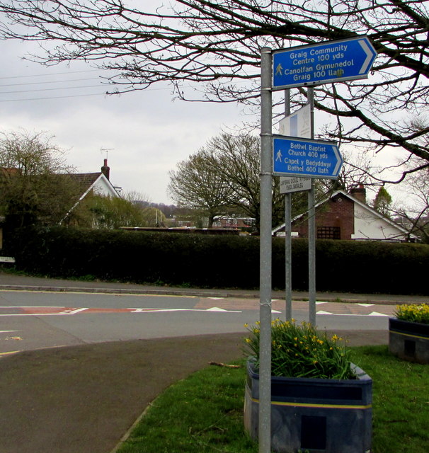
The signs for walkers are on the corner of Caerphilly Road and the road named The Griffin.
One sign points towards Graig Community Centre 100 yards away.
The other sign points towards Bethel Baptist Church 400 yards away.
The text is also in Welsh.
One sign points towards Graig Community Centre 100 yards away.
The other sign points towards Bethel Baptist Church 400 yards away.
The text is also in Welsh.
 Map © Crown Copyright")
TIP: Click the map for more Large scale mapping
- Grid Square
- ST2786, 70 images (more nearby 🔍)
- Photographer
- Jaggery (more nearby)
- Date Taken
- Tuesday, 19 March, 2019 (more nearby)
- Submitted
- Wednesday, 20 March, 2019
- Subject Location
-
OSGB36:
 ST 2732 8698 [10m precision]
WGS84: 51:34.6187N 3:3.0129W - Camera Location
-
OSGB36: ST 2732 8698
- View Direction
- SOUTH (about 180 degrees)