2019
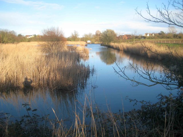
TM1215 : St Osyth: Reed Pond
taken 8 years ago, near to St Osyth, Essex, England
This is 1 of 4 images, with title starting with St Osyth in this square
St Osyth: Reed Pond
This body of water in St Osyth is actually called Reed Pond. It is upstream of Mill Dam Lake but separated from it by a causeway. For a summertime view from the same camera position please see Paul's TM1215 : Reed Pond


TIP: Click the map for more Large scale mapping
- Grid Square
- TM1215, 146 images (more nearby 🔍)
- Photographer
- Nigel Cox (more nearby)
- Date Taken
- Sunday, 17 March, 2019 (more nearby)
- Submitted
- Wednesday, 20 March, 2019
- Subject Location
-
OSGB36:
 TM 1235 1502
[10m precision]
WGS84: 51:47.6102N 1:4.6745E - Camera Location
-
OSGB36:
TM 1227 1502
- View Direction
- EAST (about 90 degrees)


