2019
TL8297 : Open flat area of STANTA
taken 5 years ago, near to Bodney, Norfolk, England
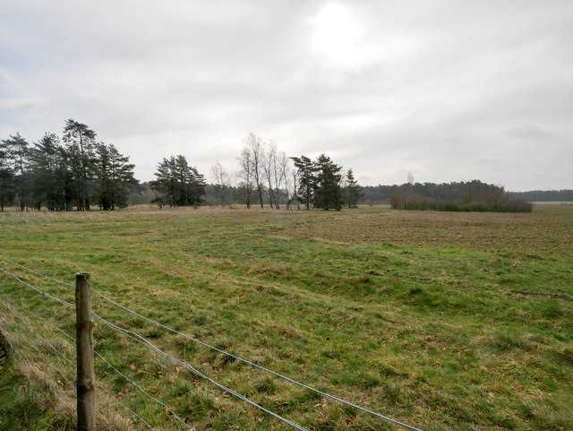
Open flat area of STANTA
The area was established in 1942 when a battle training area was required and a 'Nazi village' established. Military exercises were already taking place in the area; tanks had deployed to Thetford in the First World War. The complete takeover involved the complete evacuation of the villages of Buckenham Tofts, Langford, Stanford, Sturston, Tottington and West Tofts. The occupants of the houses were all rehoused in the belief that they would be allowed to return after the war. However the site was so valuable to the military that they have taken up permanent occupancy.
 Map © Crown Copyright")
TIP: Click the map for more Large scale mapping
- Grid Square
- TL8297, 33 images (more nearby 🔍)
- Photographer
- David Pashley (more nearby)
- Date Taken
- Wednesday, 20 March, 2019 (more nearby)
- Submitted
- Wednesday, 20 March, 2019
- Subject Location
-
OSGB36:
 TL 8249 9726 [10m precision]
WGS84: 52:32.5564N 0:41.3788E - Camera Location
-
OSGB36: TL 8247 9719
- View Direction
- North-northeast (about 22 degrees)