2019
SX2669 : Liskeard & Caradon Railway Trackbed
taken 5 years ago, near to Darite, Cornwall, England
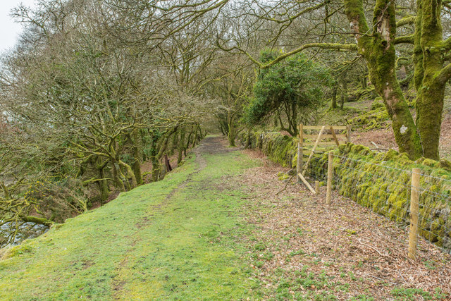
Liskeard & Caradon Railway Trackbed
Looking away from the South Caradon Mine. The railway ran down to Moorswater near Liskeard.
 Map © Crown Copyright")
TIP: Click the map for more Large scale mapping
- Grid Square
- SX2669, 38 images (more nearby 🔍)
- Photographer
- Guy Wareham (more nearby)
- Date Taken
- Wednesday, 20 March, 2019 (more nearby)
- Submitted
- Friday, 22 March, 2019
- Subject Location
-
OSGB36:
 SX 2638 6969 [10m precision]
WGS84: 50:30.0725N 4:26.9738W - Camera Location
-
OSGB36: SX 2639 6973
- View Direction
- South-southwest (about 202 degrees)