2005
SP1744 : Upper Clopton
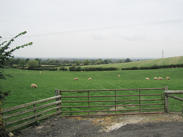
taken 19 years ago, near to Mickleton, Gloucestershire, England
This is 1 of 2 images, with title Upper Clopton in this square
Upper Clopton
Upper Clopton, looking north along the slopes of Meon Hill.
 Map © Crown Copyright")
TIP: Click the map for more Large scale mapping
- Grid Square
- SP1744, 24 images (more nearby 🔍)
- Photographer
- Dave Bushell (more nearby)
- Date Taken
- Monday, 3 October, 2005 (more nearby)
- Submitted
- Monday, 3 October, 2005
- Subject Location
-
OSGB36:
 SP 17 44 [1000m precision]
WGS84: 52:5.9139N 1:44.7567W