2019
SE1986 : Farmland near Helming, Lower Wensleydale
taken 5 years ago, near to Thirn, North Yorkshire, England
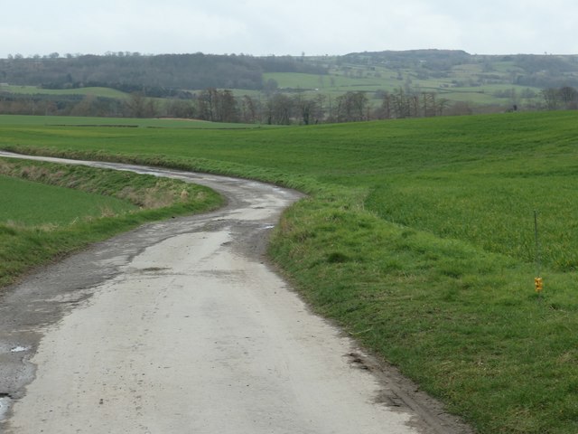
Farmland near Helming, Lower Wensleydale
The track leads to Helming, the row of trees are on the north bank of the River Ure.
 Map © Crown Copyright")
TIP: Click the map for more Large scale mapping
- Grid Square
- SE1986, 28 images (more nearby 🔍)
- Photographer
- Christine Johnstone (more nearby)
- Date Taken
- Friday, 8 March, 2019 (more nearby)
- Submitted
- Saturday, 23 March, 2019
- Subject Location
-
OSGB36:
 SE 1970 8639 [10m precision]
WGS84: 54:16.3671N 1:41.9395W - Camera Location
-
OSGB36: SE 1981 8655
- View Direction
- Southwest (about 225 degrees)