2019
TR0724 : New Romney Railway Sign
taken 5 years ago, near to New Romney, Kent, England
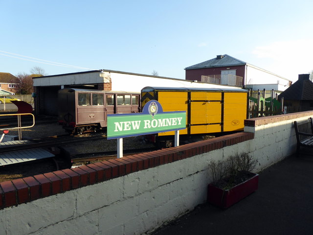
New Romney Railway Sign
Opened in the 1927, the railway is a 1 ft 3 in (381 mm) gauge light railway, running for 13.5 miles (22 km) line between Dymchurch and Dungeness.
There are seven remaining stations; Hythe, Dymchurch, St Mary's Bay, Romney Warren Halt, New Romney, Romney Sands, and Dungeness.
Official site Link
See other images of Romney, Hythe & Dymchurch Railway
There are seven remaining stations; Hythe, Dymchurch, St Mary's Bay, Romney Warren Halt, New Romney, Romney Sands, and Dungeness.
Official site Link
See other images of Romney, Hythe & Dymchurch Railway
 Map © Crown Copyright")
TIP: Click the map for more Large scale mapping
- Grid Square
- TR0724, 504 images (more nearby 🔍)
- Photographer
- PAUL FARMER (more nearby)
- Date Taken
- Sunday, 24 March, 2019 (more nearby)
- Submitted
- Tuesday, 26 March, 2019
- Subject Location
-
OSGB36:
 TR 074 248 [100m precision]
WGS84: 50:59.1559N 0:57.2595E - Camera Location
-
OSGB36: TR 074 248
- View Direction
- South-southeast (about 157 degrees)