2007
NT7002 : High moorland in the Cheviots
taken 16 years ago, 4 km W of Catcleugh, Northumberland, England
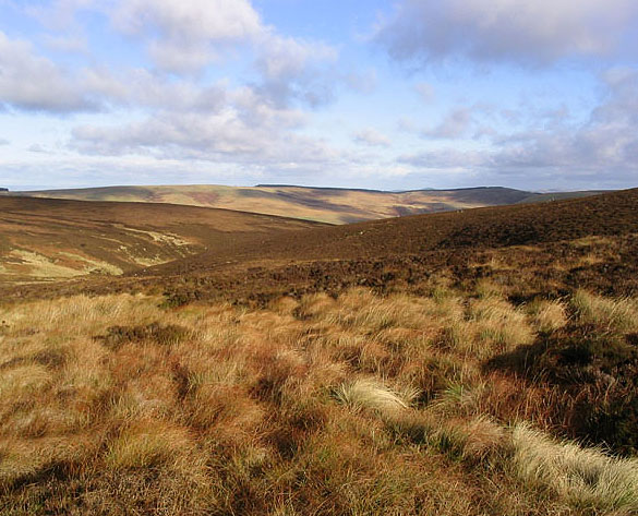
High moorland in the Cheviots
Most of the square consists of heather moorland. Remnants of old shooting butts nearby would indicate that this grouse moor might have seen better times.
 Map © Crown Copyright")
TIP: Click the map for more Large scale mapping
- Grid Square
- NT7002, 4 images (more nearby 🔍)
- Photographer
- Walter Baxter (more nearby)
- Date Taken
- Sunday, 11 November, 2007 (more nearby)
- Submitted
- Sunday, 11 November, 2007
- Subject Location
-
OSGB36:
 NT 7020 0280 [10m precision]
WGS84: 55:19.1019N 2:28.2669W - Camera Location
-
OSGB36: NT 7020 0270
- View Direction
- NORTH (about 0 degrees)