2019
ST1189 : Towards a bend in the Aber Cycleway, Abertridwr
taken 5 years ago, near to Abertridwr, Caerphilly/Caerffili, Wales
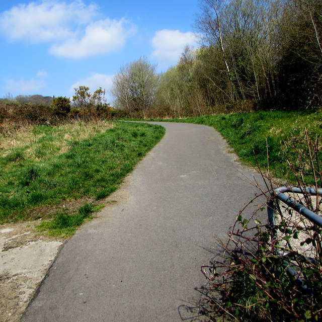
Towards a bend in the Aber Cycleway, Abertridwr
Aber Cycleway is National Cycle Network Route 475 which
extends for 4km from Caerphilly to Senghenydd via Abertriwdr.
extends for 4km from Caerphilly to Senghenydd via Abertriwdr.
The National Cycle Network
The National Cycle Network is a network of cycle routes. It was created by the charity Sustrans Link
(Sustainable Transport), aided by a National Lottery grant.
Many routes aim to minimise contact with motor traffic, though 70% of them are on roads. In some cases the NCN uses pedestrian routes, disused railways, minor roads, canal towpaths, or traffic-calmed routes in towns and cities.
 Map © Crown Copyright")
TIP: Click the map for more Large scale mapping
- Grid Square
- ST1189, 81 images (more nearby 🔍)
- Photographer
- Jaggery (more nearby)
- Date Taken
- Thursday, 28 March, 2019 (more nearby)
- Submitted
- Sunday, 31 March, 2019
- Subject Location
-
OSGB36:
 ST 1190 8939 [10m precision]
WGS84: 51:35.7864N 3:16.3973W - Camera Location
-
OSGB36: ST 1191 8936
- View Direction
- North-northwest (about 337 degrees)