2018
SK4968 : Looking toward Scarcliffe
taken 6 years ago, near to Scarcliffe, Derbyshire, England
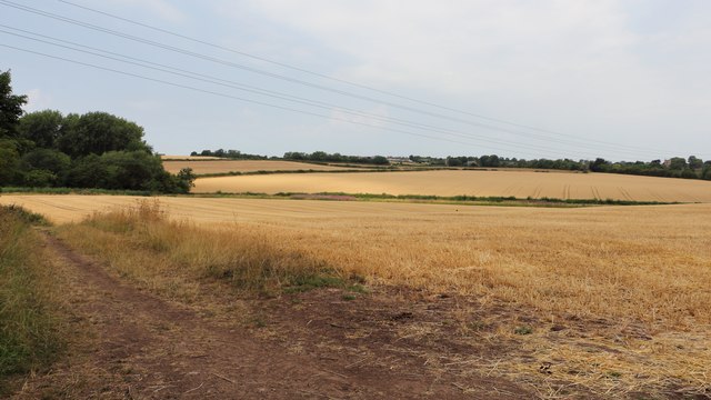
Looking toward Scarcliffe
The photograph is looking across drought affected fields toward Scarcliffe, some of the buildings of which can just be made out in the distance.
Behind the viewpoint is a public footpath to Roseland Wood, which also carries the Archaeological Way.
To the right is a footpath toward Birch Hill Plantation. The woodland on the right contains an SK4967 : Old reservoir near Roseland Wood.
The hedgerow running across the middle distance runs close to, and parallel with the River Poulter.
 Map © Crown Copyright")
TIP: Click the map for more Large scale mapping
- Grid Square
- SK4968, 105 images (more nearby 🔍)
- Photographer
- Alan Walker (more nearby)
- Date Taken
- Friday, 27 July, 2018 (more nearby)
- Submitted
- Tuesday, 2 April, 2019
- Subject Location
-
OSGB36:
 SK 4977 6814 [10m precision]
WGS84: 53:12.4803N 1:15.3764W - Camera Location
-
OSGB36: SK 4993 6800
- View Direction
- Northwest (about 315 degrees)