2018
SX8979 : A380 near Ashcombe Cross
taken 6 years ago, near to Ashcombe, Devon, England
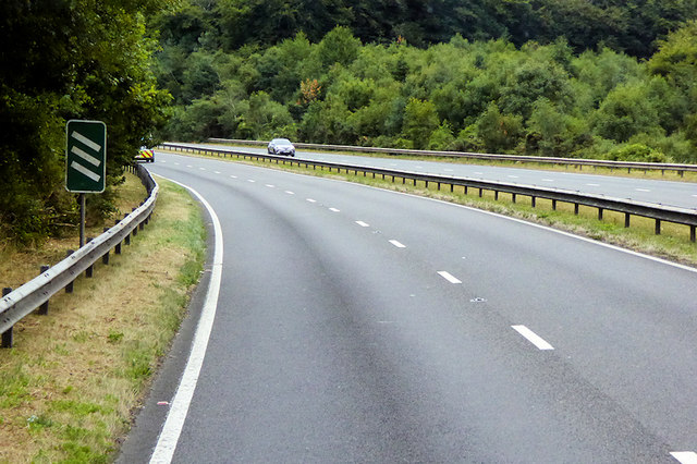
A380 near Ashcombe Cross
300 metres from the Ashcombe Cross junction.
A380 Road
The A380 is an 18 mile long road in South Devon.
It leaves the A38 at Kennford. It then proceeds in a generally southerly direction, climbing over the Haldon Hills before descending past the towns of Kingsteignton and Newton Abbot, where it meets the A381.
Beyond Newton Abbot, the road bypasses the village of Kingskerswell before bypassing the large seaside resort of Torquay. The A380 finally ends at Collaton St Mary, 1 mile inland from Paignton, where it meets the A3022 and the A385. The road is dual carriageway to Churscombe Cross but single south of there.
 Map © Crown Copyright")
TIP: Click the map for more Large scale mapping
- Grid Square
- SX8979, 43 images (more nearby 🔍)
- Photographer
- David Dixon (more nearby)
- Date Taken
- Monday, 23 July, 2018 (more nearby)
- Submitted
- Wednesday, 3 April, 2019
- Subject Location
-
OSGB36:
 SX 899 790 [100m precision]
WGS84: 50:36.0406N 3:33.3662W - Camera Location
-
OSGB36: SX 899 790
- View Direction
- Northeast (about 45 degrees)