2019
NZ1825 : Farmland west of New Hummerbeck Farm
taken 5 years ago, near to West Auckland, County Durham, England
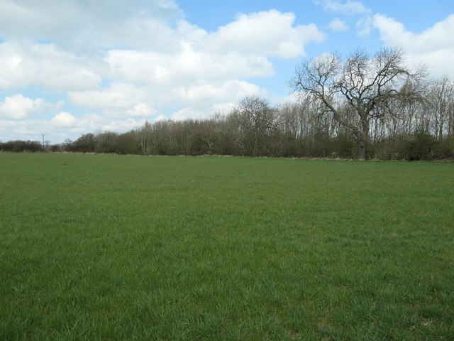
Farmland west of New Hummerbeck Farm
On the north side of Hummerbeck Lane.
 Map © Crown Copyright")
TIP: Click the map for more Large scale mapping
- Grid Square
- NZ1825, 46 images (more nearby 🔍)
- Photographer
- Christine Johnstone (more nearby)
- Date Taken
- Friday, 12 April, 2019 (more nearby)
- Submitted
- Sunday, 14 April, 2019
- Subject Location
-
OSGB36:
 NZ 1855 2527 [10m precision]
WGS84: 54:37.3342N 1:42.8539W - Camera Location
-
OSGB36: NZ 1855 2523
- View Direction
- NORTH (about 0 degrees)