2019
NH4846 : On the round Torr Breac track
taken 5 years ago, near to Kilmorack, Highland, Scotland
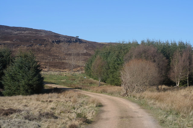
On the round Torr Breac track
The woodland so prominent to the right of the path is not so marked on the latest OS mapping.
 Map © Crown Copyright")
TIP: Click the map for more Large scale mapping
- Grid Square
- NH4846, 8 images (more nearby 🔍)
- Photographer
- Julian Paren (more nearby)
- Date Taken
- Saturday, 13 April, 2019 (more nearby)
- Submitted
- Sunday, 14 April, 2019
- Subject Location
-
OSGB36:
 NH 4812 4607 [10m precision]
WGS84: 57:28.7614N 4:32.0850W - Camera Location
-
OSGB36: NH 48130 46071
- View Direction
- North-northwest (about 337 degrees)