2019
NN1187 : Moorland slope descending to River Mallie
taken 5 years ago, 4 km SW of Ardechive, Highland, Scotland
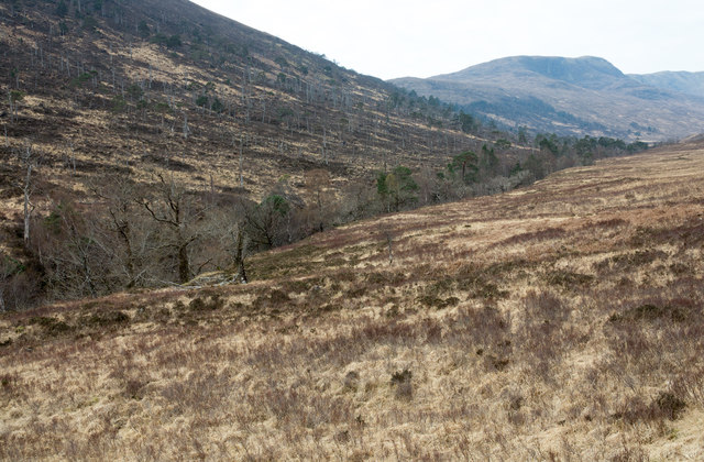
Moorland slope descending to River Mallie
The river flows in the tree-lined slot.
 Map © Crown Copyright")
TIP: Click the map for more Large scale mapping
- Grid Square
- NN1187, 10 images (more nearby 🔍)
- Photographer
- Trevor Littlewood (more nearby)
- Date Taken
- Wednesday, 10 April, 2019 (more nearby)
- Submitted
- Saturday, 20 April, 2019
- Subject Location
-
OSGB36:
 NN 1109 8795 [10m precision]
WGS84: 56:56.6482N 5:6.4342W - Camera Location
-
OSGB36: NN 1112 8798
- View Direction
- Southwest (about 225 degrees)