2019
SD9564 : Height Laithe
taken 5 years ago, near to Bordley, North Yorkshire, England
This is 1 of 5 images, with title Height Laithe in this square
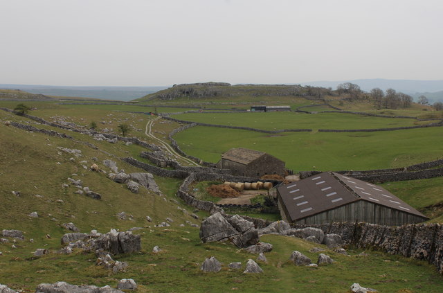
Height Laithe
 Map © Crown Copyright")
TIP: Click the map for more Large scale mapping
- Grid Square
- SD9564, 29 images (more nearby 🔍)
- Photographer
- Chris Heaton (more nearby)
- Date Taken
- Tuesday, 23 April, 2019 (more nearby)
- Submitted
- Friday, 26 April, 2019
- Subject Location
-
OSGB36:
 SD 9591 6460 [10m precision]
WGS84: 54:4.6385N 2:3.8401W - Camera Location
-
OSGB36: SD 9580 6462
- View Direction
- EAST (about 90 degrees)