2019
TG5108 : Wherryman's Way near Breydon Junction
taken 5 years ago, near to Great Yarmouth, Norfolk, England
This is 1 of 2 images, with title Wherryman's Way near Breydon Junction in this square
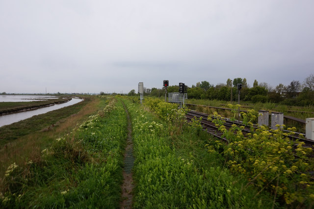
Wherryman's Way near Breydon Junction
 Map © Crown Copyright")
TIP: Click the map for more Large scale mapping
- Grid Square
- TG5108, 246 images (more nearby 🔍)
- Photographer
- Ian S (more nearby)
- Date Taken
- Tuesday, 7 May, 2019 (more nearby)
- Submitted
- Thursday, 9 May, 2019
- Subject Location
-
OSGB36:
 TG 5164 0861 [10m precision]
WGS84: 52:37.0140N 1:42.9581E - Camera Location
-
OSGB36: TG 5166 0859
- View Direction
- Northwest (about 315 degrees)