2019
SP6097 : Eroded canal bank, west of Kilby Bridge
taken 5 years ago, near to South Wigston, Leicestershire, England
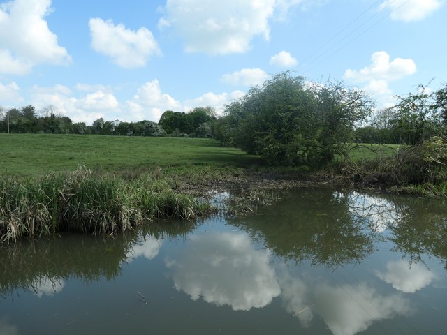
Eroded canal bank, west of Kilby Bridge
Usually caused by cattle.
 Map © Crown Copyright")
TIP: Click the map for more Large scale mapping
- Grid Square
- SP6097, 92 images (more nearby 🔍)
- Photographer
- Christine Johnstone (more nearby)
- Date Taken
- Sunday, 12 May, 2019 (more nearby)
- Submitted
- Wednesday, 22 May, 2019
- Subject Location
-
OSGB36:
 SP 6071 9714 [10m precision]
WGS84: 52:34.1224N 1:6.3432W - Camera Location
-
OSGB36: SP 6070 9713
- View Direction
- North-northeast (about 22 degrees)