SO8451 : Hut beside roadworks
taken 5 years ago, near to Powick, Worcestershire, England
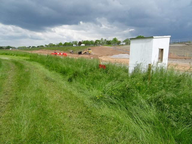
Worcester's Southern Relief Road was originally built in 1985 and now work is taking place to widen the road to a dual carriageway between the A38 'Ketch Island' to the A449 Powick roundabout. Work has already been completed on the widenning to a dual carriageway the A4440 between the 'Ketch Island' and the Whittington roundabout near junction 7 on the M5 motorway.
The construction work is being carried out by contractor Alun Griffiths.
The work includes building a parallel bridge alongside the Carrington Bridge as part of the dualling project.
Roads minister Jesse Norman approved almost £55m of government funding to support the scheme. It was claimed the improvement will halve peak journey times along the A4440, though I suspect any travel benefit will be lost when the planned further 5,600 new homes are built nearby.
The work will also include the construction of a new steel single span cycle and pedestrian bridge over Hams Way (A4440), just to the west of the Powick roundabout.
The main construction work began in March 2019 and is planned to take two years to complete.
 Map © Crown Copyright")
- Grid Square
- SO8451, 100 images (more nearby 🔍)
- Photographer
- Philip Halling (more nearby)
- Date Taken
- Friday, 24 May, 2019 (more nearby)
- Submitted
- Tuesday, 28 May, 2019
- Subject Location
-
OSGB36:
 SO 8427 5170 [10m precision]
WGS84: 52:9.8006N 2:13.8828W - Camera Location
-
OSGB36: SO 8431 5165
- View Direction
- North-northwest (about 337 degrees)