2007
NZ0269 : Arable land near South Clarewood
taken 17 years ago, near to Great Whittington, Northumberland, England
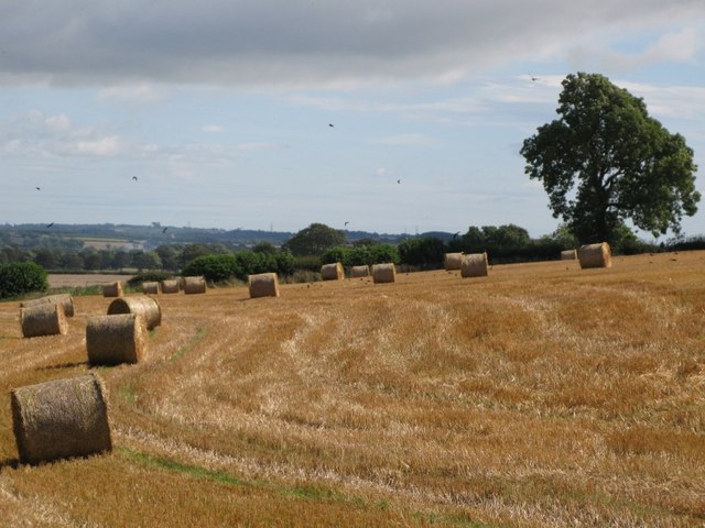
Arable land near South Clarewood
 Map © Crown Copyright")
TIP: Click the map for more Large scale mapping
- Grid Square
- NZ0269, 9 images (more nearby 🔍)
- Photographer
- Mike Quinn (more nearby)
- Date Taken
- Thursday, 30 August, 2007 (more nearby)
- Submitted
- Wednesday, 21 November, 2007
- Subject Location
-
OSGB36:
 NZ 023 692 [100m precision]
WGS84: 55:1.0621N 1:57.9151W - Camera Location
-
OSGB36: NZ 020 692
- View Direction
- EAST (about 90 degrees)