2019
SJ9091 : St Paul's Street
taken 5 years ago, near to Bredbury, Stockport, England
This is 1 of 5 images, with title starting with St Paul's in this square
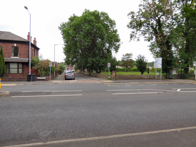
St Paul's Street
On the right is the site of St Paul's church which was erected in 1851 and demolished in 1972.
 Map © Crown Copyright")
TIP: Click the map for more Large scale mapping
- Grid Square
- SJ9091, 155 images (more nearby 🔍)
- Photographer
- Gerald England (more nearby)
- Date Taken
- Saturday, 1 June, 2019 (more nearby)
- Submitted
- Saturday, 8 June, 2019
- Subject Location
-
OSGB36:
 SJ 9045 9112 [10m precision]
WGS84: 53:25.0077N 2:8.7091W - Camera Location
-
OSGB36: SJ 9043 9115
- View Direction
- Southeast (about 135 degrees)