2019
NS4781 : Forestry track
taken 5 years ago, 4 km SW of Craighat, Stirling, Scotland
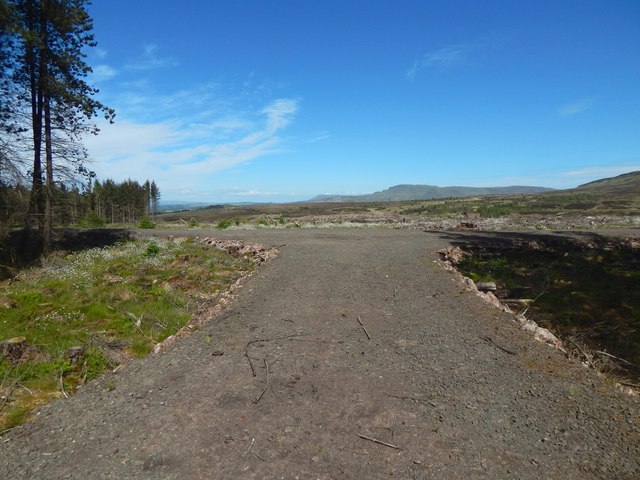
Forestry track
The picture was taken from a very short section that branches off here from the main track; it does not extend far behind the photographer's position. The Campsie Hills are slightly right of centre, while the more distant Fintry Hills occupy the centre of the skyline.
 Map © Crown Copyright")
TIP: Click the map for more Large scale mapping
- Grid Square
- NS4781, 19 images (more nearby 🔍)
- Photographer
- Lairich Rig (more nearby)
- Date Taken
- Friday, 24 May, 2019 (more nearby)
- Submitted
- Saturday, 15 June, 2019
- Subject Location
-
OSGB36:
 NS 4708 8116 [10m precision]
WGS84: 55:59.9361N 4:27.2175W - Camera Location
-
OSGB36: NS 4706 8115
- View Direction
- East-northeast (about 67 degrees)