NS5768 : Glasgow Rubber Works
taken 5 years ago, 3 km from Partick, Glasgow, Scotland
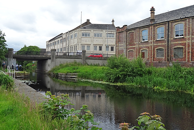
The Forth and Clyde Canal links Bowling on the Firth of Clyde with Grangemouth on the Firth of Forth. It allowed goods to be transported between the east and west coasts, and to be exported from Glasgow to Europe or from Edinburgh to America, without taking the hazardous route round the north of Scotland or the longer route via the English Channel.
It is 56 kilometres (35 miles) long and has 39 locks, and the highest point is 47 metres (155 feet) above sea level. Originally there were 33 drawbridges, ten large aqueducts and 33 smaller ones.
It was designed by the engineer John Smeaton and opened in 1790, after over 20 years of planning and construction.
With time seagoing vessels became too large to pass through the locks, and competition from the railways in the 19th century led to it being more or less disused, and it was closed in 1963.
However it was reopened as a Millennium project in 2001, and linked to the Union Canal by the Falkirk Wheel.
 Map © Crown Copyright")
- Grid Square
- NS5768, 127 images (more nearby 🔍)
- Photographer
- Anne Burgess (more nearby)
- Date Taken
- Tuesday, 25 June, 2019 (more nearby)
- Submitted
- Friday, 28 June, 2019
- Subject Location
-
OSGB36:
 NS 5734 6833 [10m precision]
WGS84: 55:53.2149N 4:16.9483W - Camera Location
-
OSGB36: NS 57341 68296
- View Direction
- North-northeast (about 22 degrees)