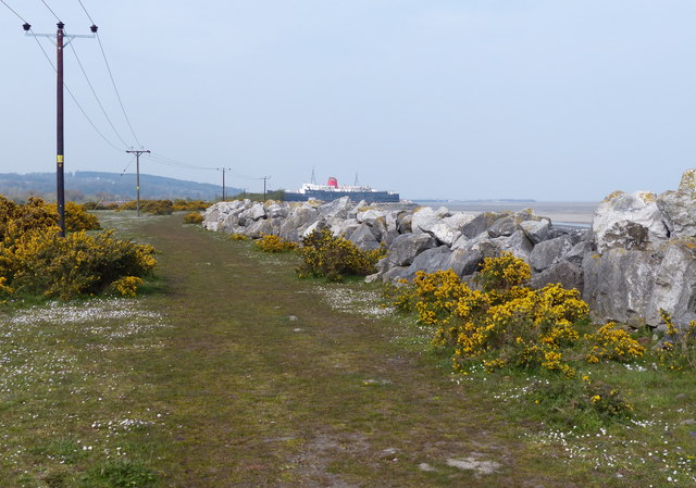
SJ1879 : Wales Coast Path at Llannerch-y-môr
taken 5 years ago, near to Llannerch-y-Môr, Flintshire/Sir y Fflint, Wales
The Afon Dyfrdwy (The River Dee) is a sixty-eight mile long river which rises at Llanuwchllyn in Snowdonia. The river travels in a south-easterly direction, making its way across the border into England. It then changes course to a northerly direction towards its estuary, between North Wales and The Wirral Peninsula in England. It drains into Liverpool Bay and the Irish Sea.
The River Dee's course takes it through the Welsh towns of Berwyn, Corwen, Llangollen, Wrexham and Connah's Quay, the English town of Farndon and the English city of Chester. At Wrexham the river is a natural border between Wales and England. At Connahs Quay the river becomes tidal for the last sixteen miles.
The Wales Coast Path (Welsh: Llwybr Arfordir Cymru) is a long distance footpath which follows the whole of the coastline of Wales. It opened on 5 May 2012, and offers a 870 mile long route from Chepstow in the south to Queensferry in the north.
Wales is the first country in the world to provide a dedicated footpath along its entire coastline. The Path runs through eleven National Nature Reserves and other nature reserves, including those managed by The Wildlife Trusts or Royal Society for the Protection of Birds (RSPB).
Logo can be seen atSS0897 : Logo, Wales Coast Path.
Website: Link
 Map © Crown Copyright")
- Grid Square
- SJ1879, 16 images (more nearby 🔍)
- Photographer
- Mat Fascione (more nearby)
- Date Taken
- Monday, 15 April, 2019 (more nearby)
- Submitted
- Sunday, 30 June, 2019
- Subject Location
-
OSGB36:
 SJ 183 790 [100m precision]
WGS84: 53:18.1142N 3:13.5910W - Camera Location
-
OSGB36: SJ 183 790
- View Direction
- West-northwest (about 292 degrees)