TG2408 : View along Florence Road
taken 5 years ago, near to Norwich, Norfolk, England
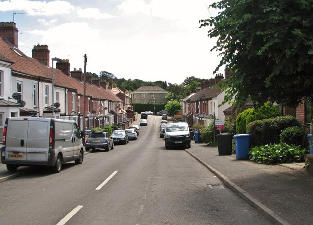
In the summer of 1870, Isaac Bugg Coaks > Link became heavily involved with the collapse of the Hudson and Harvey Bank, caused by the bank's principal partner, Sir Robert Harvey > Link who had used the bank's money to speculate on French stocks and consequently shot himself (in July 1870) when the bankruptcy was revealed. Coaks, the liquidator's solicitor, managed to acquire some of Harvey's land in Thorpe Hamlet. This land, which he subsequently developed, is known as the Hill House estate, named after Hill House > Link and referred to locally as "The Lady Roads", because six of the new roads were named after his six daughters Beatrice, Florence, Marion, Primrose, Ella and Ethel. The estate, located on sloping ground and extending over an area of about 14 acres, is bounded by Telegraph Lane East in the north-east, the Rosary Cemetery in the south-east, St Leonard's Road in the north-west, and Rosary Road in the south-west.
 Map © Crown Copyright")
- Grid Square
- TG2408, 2870 images (more nearby 🔍)
- Photographer
- Evelyn Simak (more nearby)
- Date Taken
- Monday, 1 July, 2019 (more nearby)
- Submitted
- Tuesday, 2 July, 2019
- Subject Location
-
OSGB36:
 TG 2431 0852 [10m precision]
WGS84: 52:37.6836N 1:18.7769E - Camera Location
-
OSGB36: TG 2422 0864
- View Direction
- Southeast (about 135 degrees)