2019
SX4356 : Pengelly Hill
taken 5 years ago, near to Wilcove, Cornwall, Great Britain
This is 1 of 5 images, with title Pengelly Hill in this square
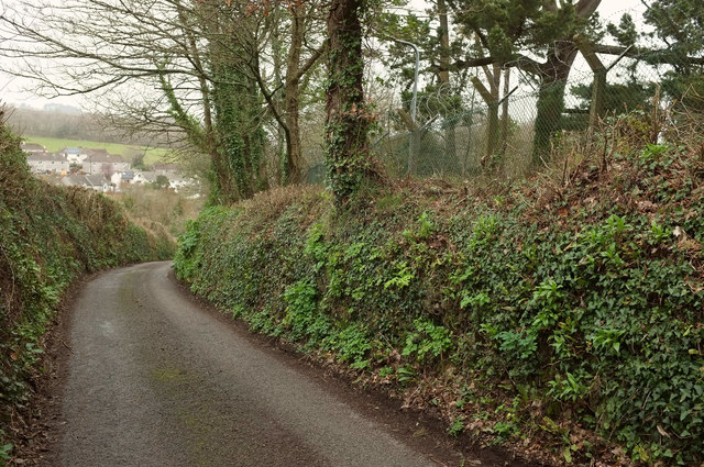
Pengelly Hill
The lane descends from the A374 to Wilcove. The chain link fence is around Thanckes Naval Oil Fuel Depot.
 Map © Crown Copyright")
TIP: Click the map for more Large scale mapping
- Grid Square
- SX4356, 38 images (more nearby 🔍)
- Photographer
- Derek Harper (more nearby)
- Date Taken
- Saturday, 2 March, 2019 (more nearby)
- Submitted
- Friday, 5 July, 2019
- Subject Location
-
OSGB36:
 SX 4303 5615 [10m precision]
WGS84: 50:23.0541N 4:12.5582W - Camera Location
-
OSGB36: SX 4303 5611
- View Direction
- NORTH (about 0 degrees)