2018
SE7624 : Footpath and road direction signs at Sand Hall
taken 6 years ago, near to Hook, East Riding of Yorkshire, England
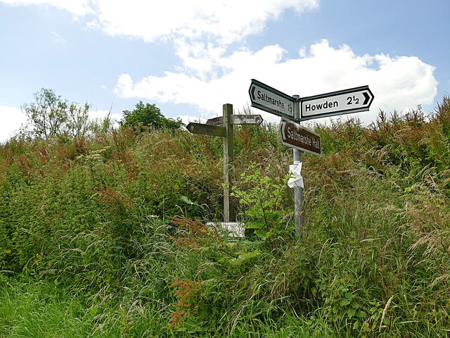
Footpath and road direction signs at Sand Hall
The public footpath here has become so overgrown as to be unusable.
 Map © Crown Copyright")
TIP: Click the map for more Large scale mapping
- Grid Square
- SE7624, 52 images (more nearby 🔍)
- Photographer
- Graham Hogg (more nearby)
- Date Taken
- Tuesday, 3 July, 2018 (more nearby)
- Submitted
- Saturday, 6 July, 2019
- Subject Location
-
OSGB36:
 SE 7663 2478 [10m precision]
WGS84: 53:42.8293N 0:50.4239W - Camera Location
-
OSGB36: SE 7663 2479
- View Direction
- South-southwest (about 202 degrees)