2019
NS5867 : Firhill Basin, Forth & Clyde Canal
taken 5 years ago, near to Springburn, Glasgow, Scotland
This is 1 of 29 images, with title starting with Firhill in this square
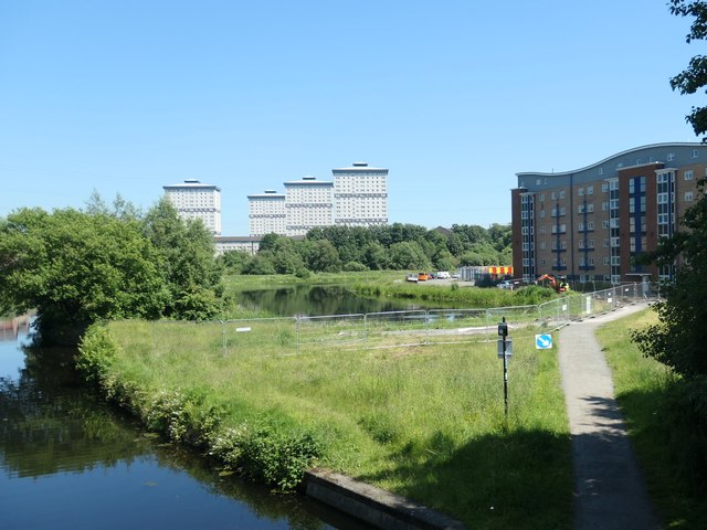
Firhill Basin, Forth & Clyde Canal
A crescent-shaped former timber basin on the inside of a bend in the canal. Springbank Foundry is mapped on the land alongside in 1858.
 Map © Crown Copyright")
TIP: Click the map for more Large scale mapping
- Grid Square
- NS5867, 246 images (more nearby 🔍)
- Photographer
- Christine Johnstone (more nearby)
- Date Taken
- Wednesday, 26 June, 2019 (more nearby)
- Submitted
- Tuesday, 9 July, 2019
- Subject Location
-
OSGB36:
 NS 5814 6785 [10m precision]
WGS84: 55:52.9705N 4:16.1665W - Camera Location
-
OSGB36: NS 5802 6784
- View Direction
- EAST (about 90 degrees)