2019
NN5582 : Allt Coire Nam Plaidean
taken 5 years ago, near to Allt Coire Nam Plaidean [water Feature], Highland, Great Britain
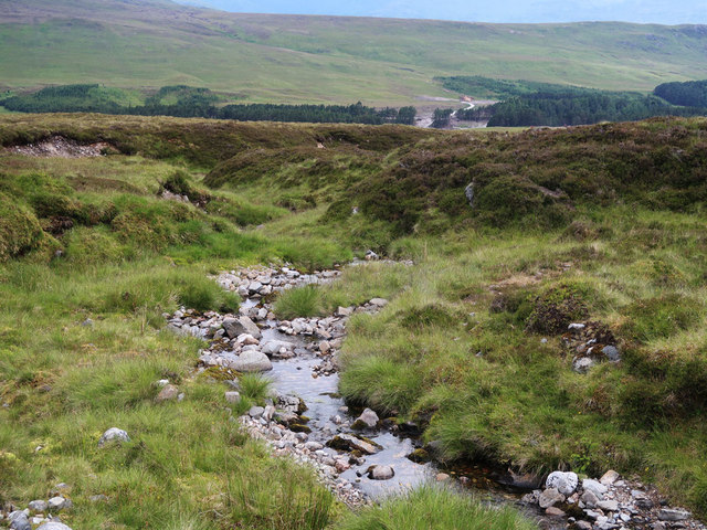
Allt Coire Nam Plaidean
A tributary of the River Pattack
 Map © Crown Copyright")
TIP: Click the map for more Large scale mapping
- Grid Square
- NN5582 (more nearby 🔍)
- Photographer
- wrobison (more nearby)
- Date Taken
- Monday, 8 July, 2019 (more nearby)
- Submitted
- Wednesday, 10 July, 2019
- Subject Location
-
OSGB36:
 NN 5588 8206 [10m precision]
WGS84: 56:54.4435N 4:22.1027W - Camera Location
-
OSGB36: NN 5591 8203
- View Direction
- Northwest (about 315 degrees)