2007
N4257 : Captain's Hill
taken 16 years ago, 3 km from Knockdrin, Co Westmeath, Ireland
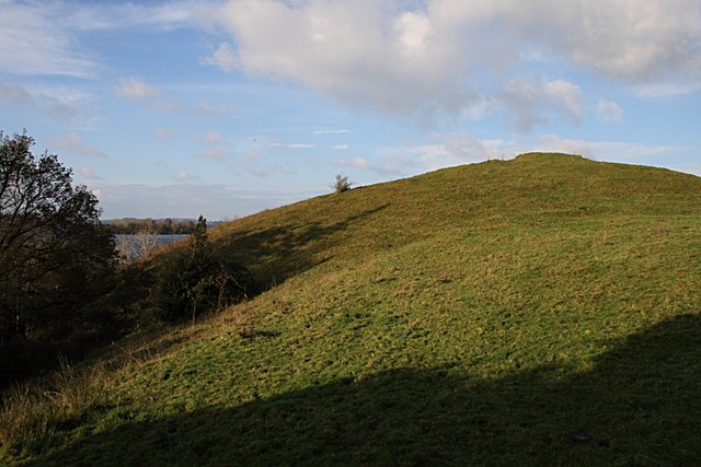
Captain's Hill
Named for being the site of a green on the old Mullingar golf course.
Loading map... (JavaScript required)
- Grid Square
- N4257, 5 images (more nearby 🔍)
- Photographer
- kevin higgins (more nearby)
- Date Taken
- November 2007 (more nearby)
- Submitted
- Monday, 26 November, 2007
- Subject Location
-
Irish:
 N 422 573 [100m precision]
WGS84: 53:33.8892N 7:21.7768W - Camera Location
-
Irish: N 422 573
- View Direction
- NORTH (about 0 degrees)