2019
NY7834 : Hill road and moorland east of Crook Burn
taken 5 years ago, 4 km WNW of Harwood, County Durham, England
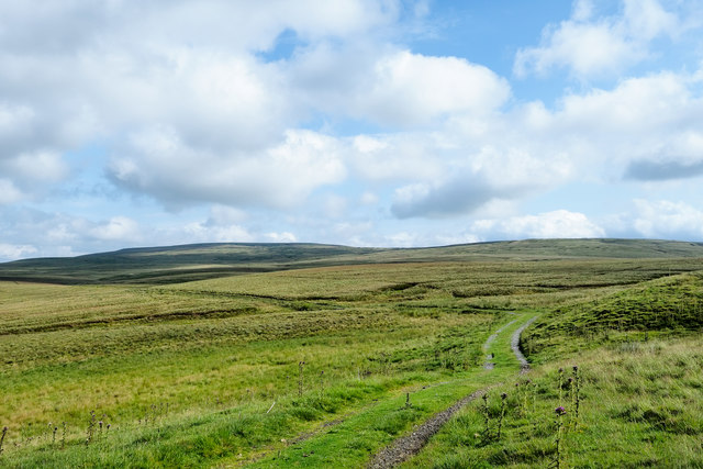
Hill road and moorland east of Crook Burn
The road was created presumably as an access route for the Greenhurth Mine. It's heading generally north towards the B6277 which passes below Burnhope Seat, the hill to the left in the distance.
Crook Burn lies to the left, out of the image.
Crook Burn lies to the left, out of the image.
 Map © Crown Copyright")
TIP: Click the map for more Large scale mapping
- Grid Square
- NY7834, 18 images (more nearby 🔍)
- Photographer
- Trevor Littlewood (more nearby)
- Date Taken
- Friday, 26 July, 2019 (more nearby)
- Submitted
- Saturday, 27 July, 2019
- Subject Location
-
OSGB36:
 NY 7823 3454 [10m precision]
WGS84: 54:42.3242N 2:20.3618W - Camera Location
-
OSGB36: NY 7823 3438
- View Direction
- NORTH (about 0 degrees)