2019
NU1635 : Dunes and channel
taken 5 years ago, near to Budle, Northumberland, England
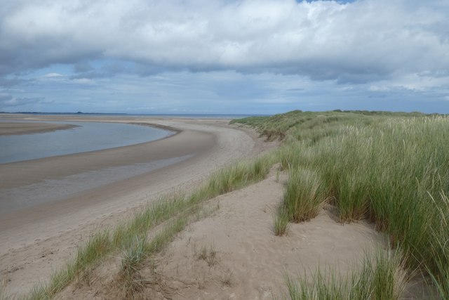
Dunes and channel
Looking along the dunes onto Budle Bay. The channel is not where the map shows.
 Map © Crown Copyright")
TIP: Click the map for more Large scale mapping
- Grid Square
- NU1635, 128 images (more nearby 🔍)
- Photographer
- DS Pugh (more nearby)
- Date Taken
- Tuesday, 6 August, 2019 (more nearby)
- Submitted
- Tuesday, 13 August, 2019
- Subject Location
-
OSGB36:
 NU 1614 3593 [10m precision]
WGS84: 55:37.0019N 1:44.7187W - Camera Location
-
OSGB36: NU 16099 35873
- View Direction
- Northeast (about 45 degrees)