2019
SK1679 : Tophole Road at Greendale
taken 5 years ago, near to Coplow Dale, Derbyshire, England
This is 1 of 3 images, with title starting with Tophole in this square
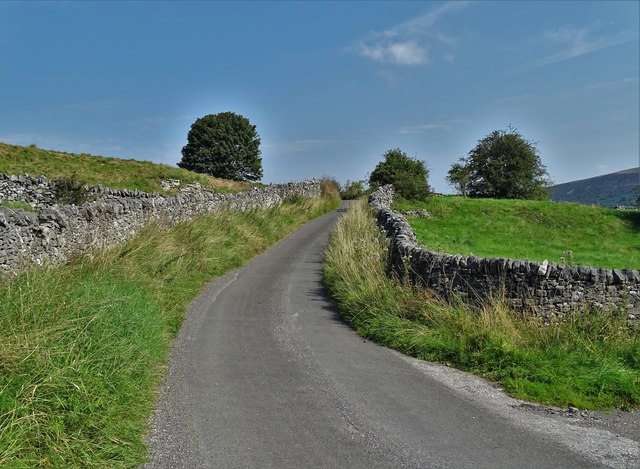
Tophole Road at Greendale
This narrow lane is a remnant of the age of lead mining in this district of Derbyshire.
 Map © Crown Copyright")
TIP: Click the map for more Large scale mapping
- Grid Square
- SK1679, 28 images (more nearby 🔍)
- Photographer
- Neil Theasby (more nearby)
- Date Taken
- Tuesday, 27 August, 2019 (more nearby)
- Submitted
- Tuesday, 27 August, 2019
- Subject Location
-
OSGB36:
 SK 1676 7989 [10m precision]
WGS84: 53:18.9408N 1:44.9935W - Camera Location
-
OSGB36: SK 16751 79878
- View Direction
- North-northeast (about 22 degrees)