2019
SP6257 : Bridleway to Stowe Wood
taken 5 years ago, near to Church Stowe, West Northamptonshire, England
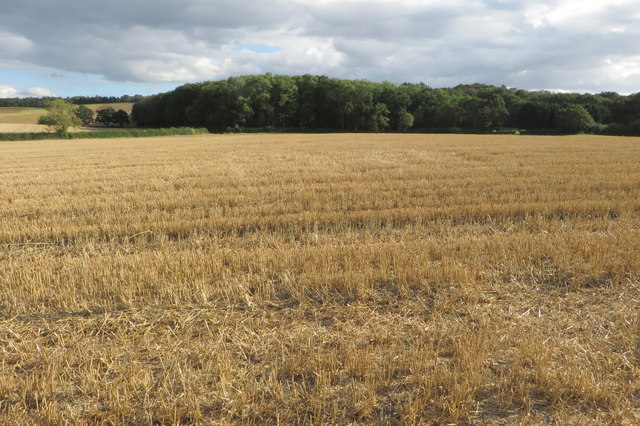
Bridleway to Stowe Wood
Well, the map has a bridleway, the farmer thinks otherwise.
 Map © Crown Copyright")
TIP: Click the map for more Large scale mapping
- Grid Square
- SP6257, 7 images (more nearby 🔍)
- Photographer
- Philip Jeffrey (more nearby)
- Date Taken
- Sunday, 1 September, 2019 (more nearby)
- Submitted
- Tuesday, 3 September, 2019
- Subject Location
-
OSGB36:
 SP 6278 5779 [10m precision]
WGS84: 52:12.8855N 1:4.9527W - Camera Location
-
OSGB36: SP 6278 5783
- View Direction
- SOUTH (about 180 degrees)