2019
TQ4581 : Barking Creek Barrier from the air
taken 5 years ago, near to Creekmouth, Barking And Dagenham, England
This is 1 of 2 images, with title Barking Creek Barrier from the air in this square
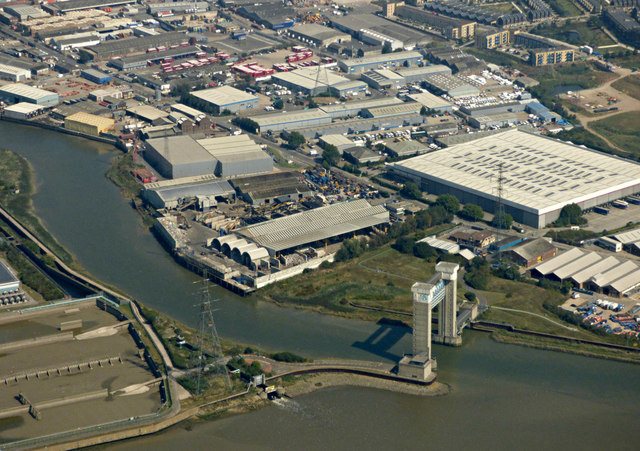
Barking Creek Barrier from the air
With Creekmouth beyond. See TQ4581 : Barking Flood Barrier for more information about the barrier.
 Map © Crown Copyright")
TIP: Click the map for more Large scale mapping
- Grid Square
- TQ4581, 76 images (more nearby 🔍)
- Photographer
- Thomas Nugent (more nearby)
- Date Taken
- Monday, 26 August, 2019 (more nearby)
- Submitted
- Tuesday, 3 September, 2019
- Subject Location
-
OSGB36:
 TQ 455 816 [100m precision]
WGS84: 51:30.9072N 0:5.7733E - Camera Location
-
OSGB36: TQ 454 805
- View Direction
- NORTH (about 0 degrees)