2019
W2073 : A messy track
taken 5 years ago, near to Reananerree, Co Cork, Ireland
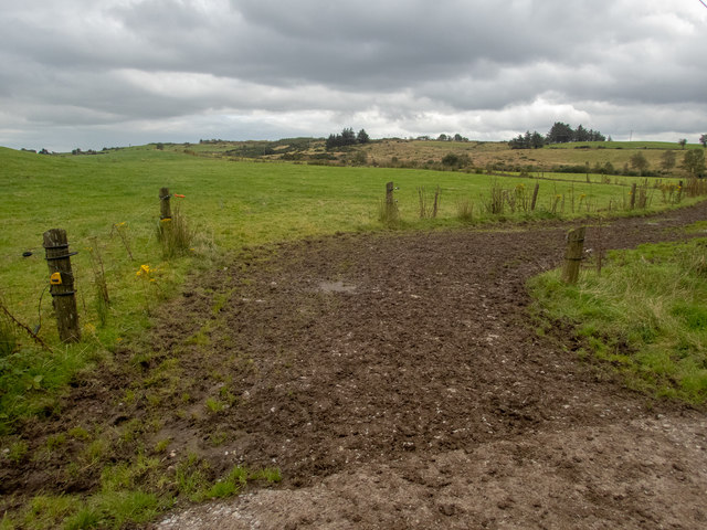
A messy track
This is a cattle track crossing a minor road. There is a spot height of 203m up on the ridge on the 1:50000 OS map.
Loading map... (JavaScript required)
- Grid Square
- W2073 (more nearby 🔍)
- Photographer
- Neville Goodman (more nearby)
- Date Taken
- Monday, 2 September, 2019 (more nearby)
- Submitted
- Wednesday, 4 September, 2019
- Subject Location
-
Irish:
 W 201 732 [100m precision]
WGS84: 51:54.3628N 9:9.6220W - Camera Location
-
Irish: W 201 732
- View Direction
- Southeast (about 135 degrees)