2014
SX3853 : Military Ranges
taken 10 years ago, near to Antony, Cornwall, England
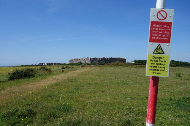
Military Ranges
At the disused Tregantle Fort.
 Map © Crown Copyright")
TIP: Click the map for more Large scale mapping
- Grid Square
- SX3853, 36 images (more nearby 🔍)
- Photographer
- Peter Jeffery (more nearby)
- Date Taken
- Wednesday, 2 July, 2014 (more nearby)
- Submitted
- Saturday, 7 September, 2019
- Subject Location
-
OSGB36:
 SX 3886 5343 [10m precision]
WGS84: 50:21.5199N 4:16.0047W - Camera Location
-
OSGB36: SX 3888 5345
- View Direction
- Southwest (about 225 degrees)