2019
SU4258 : Highclere: Harvested agricultural land
taken 5 years ago, near to Highclere, Hampshire, England
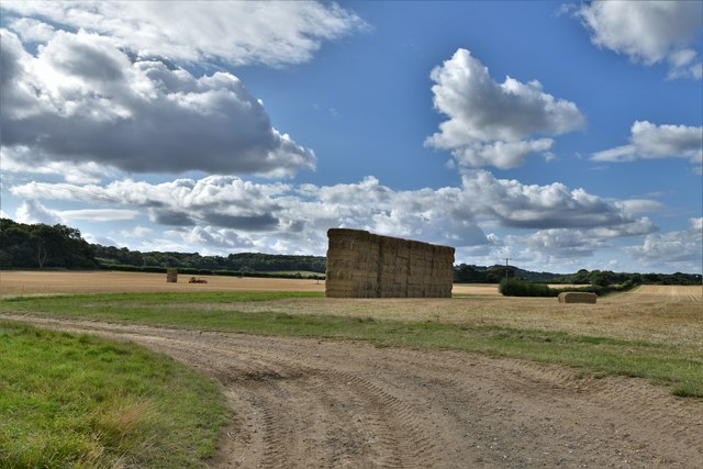
Highclere: Harvested agricultural land
 Map © Crown Copyright")
TIP: Click the map for more Large scale mapping
- Grid Square
- SU4258, 10 images (more nearby 🔍)
- Photographer
- Michael Garlick (more nearby)
- Date Taken
- Thursday, 5 September, 2019 (more nearby)
- Submitted
- Monday, 9 September, 2019
- Subject Location
-
OSGB36:
 SU 4271 5884 [10m precision]
WGS84: 51:19.6238N 1:23.3048W - Camera Location
-
OSGB36: SU 4296 5868
- View Direction
- West-northwest (about 292 degrees)