2019
SX7981 : Leat beside field below Kelly mine
taken 5 years ago, near to Lustleigh, Devon, England
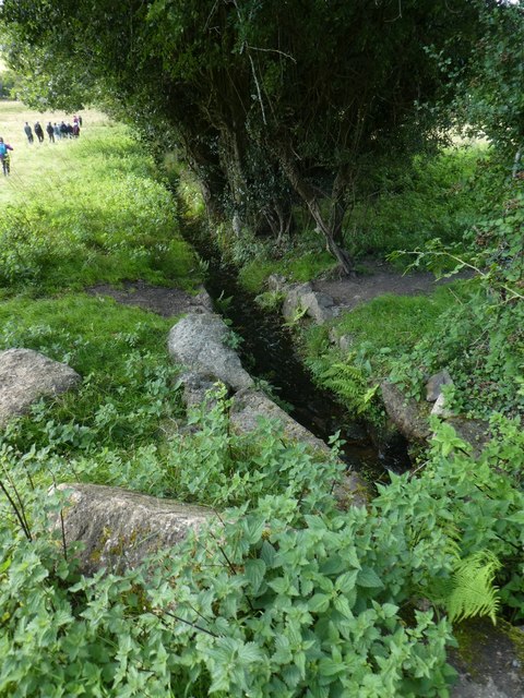
Leat beside field below Kelly mine
One of the drainage channels from the former Kelly mine, lined with local granite; this is the upper end of the leat in SX7981 : Leat near Wrayland Barn
 Map © Crown Copyright")
TIP: Click the map for more Large scale mapping
- Grid Square
- SX7981, 92 images (more nearby 🔍)
- Photographer
- David Smith (more nearby)
- Date Taken
- Wednesday, 4 September, 2019 (more nearby)
- Submitted
- Wednesday, 11 September, 2019
- Subject Location
-
OSGB36:
 SX 7947 8171 [10m precision]
WGS84: 50:37.3561N 3:42.3162W - Camera Location
-
OSGB36: SX 7949 8173
- View Direction
- West-southwest (about 247 degrees)