2019
SP0957 : The lower end of Malt Mill Lane Alcester
taken 5 years ago, near to Alcester, Warwickshire, England
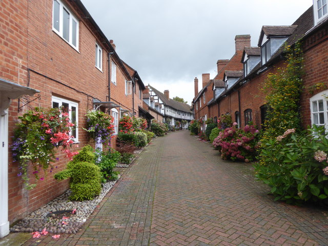
The lower end of Malt Mill Lane Alcester
 Map © Crown Copyright")
TIP: Click the map for more Large scale mapping
- Grid Square
- SP0957, 167 images (more nearby 🔍)
- Photographer
- Rod Allday (more nearby)
- Date Taken
- Tuesday, 24 September, 2019 (more nearby)
- Submitted
- Tuesday, 1 October, 2019
- Subject Location
-
OSGB36:
 SP 0911 5736 [10m precision]
WGS84: 52:12.8629N 1:52.0850W - Camera Location
-
OSGB36: SP 0913 5735
- View Direction
- Northwest (about 315 degrees)