2019
NS7892 : St Thomas Cemetery
taken 5 years ago, near to Cambusbarron, Stirling, Scotland
This is 1 of 2 images, with title St Thomas Cemetery in this square
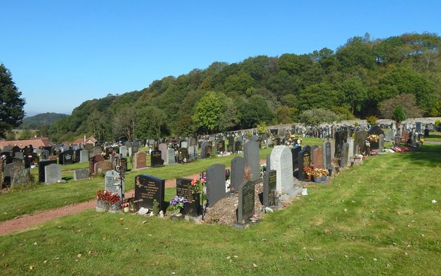
St Thomas Cemetery
For another contributor's earlier picture taken nearby, see NS7892 : St Thomas Cemetery, Cambusbarron.
St Thomas Cemetery, Cambusbarron
An information panel near the entrance states that Stirling Burgh Council was given approval on the 25th of January 1949 to purchase land here near St Thomas Well to be used as a burial ground, Stirling's existing Old Town Cemeteries by then being full. By November of the same year, the land had been approved for use as a burial ground for the burgh of Stirling. As mentioned on the panel, St Thomas Well is nearby. Also related there (though probably apocryphal) is that, on the eve of the Battle of Bannockburn, Robert the Bruce and his army were blessed using water from local wells, and that, after the victory, people attributed a supernatural efficacy to those wells' water.
 Map © Crown Copyright")
TIP: Click the map for more Large scale mapping
- Grid Square
- NS7892, 35 images (more nearby 🔍)
- Photographer
- Lairich Rig (more nearby)
- Date Taken
- Saturday, 21 September, 2019 (more nearby)
- Submitted
- Thursday, 3 October, 2019
- Subject Location
-
OSGB36:
 NS 7802 9297 [10m precision]
WGS84: 56:6.8311N 3:57.7955W - Camera Location
-
OSGB36: NS 7802 9295
- View Direction
- NORTH (about 0 degrees)