2011
TQ3062 : Path, Roundshaw Downs
taken 13 years ago, near to Purley, Croydon, England
This is 1 of 2 images, with title Path, Roundshaw Downs in this square
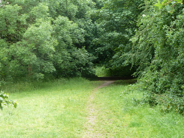
Path, Roundshaw Downs
Towards the more open part of the downs.
 Map © Crown Copyright")
TIP: Click the map for more Large scale mapping
- Grid Square
- TQ3062, 120 images (more nearby 🔍)
- Photographer
- Robin Webster (more nearby)
- Date Taken
- Monday, 6 June, 2011 (more nearby)
- Submitted
- Friday, 4 October, 2019
- Subject Location
-
OSGB36:
 TQ 3017 6272 [10m precision]
WGS84: 51:20.9196N 0:7.9349W - Camera Location
-
OSGB36: TQ 30147 62720
- View Direction
- EAST (about 90 degrees)